Isurium Brigantum
(Aldborough)

The Roman Regional Capital
|
Return to the Home Page of the
Farndale Family Website |
The story of one family’s journey
through two thousand years of British History |
The 84 family lines into which the
family is divided. Meet the whole family and how the wider family is related |
Members of the historical family
ordered by date of birth |
Links to other pages with historical
research and related material |
The story of the Bakers of
Highfields, the Chapmans, and other related families |
The Time Traveller’s Journey through North Yorkshire
The
History of the North York Moors, Ryedale, York, Cleveland and beyond |

Headlines
are in brown.
Dates
are in red.
Hyperlinks
to other pages are in dark
blue.
References
and citations are in turquoise.
Context
and local history are in purple.
Geographical
context is in green.
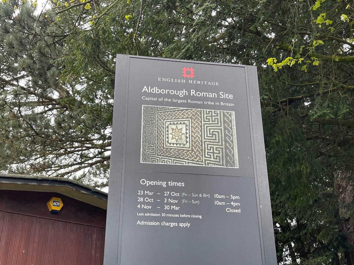
Few
places in England boast the historic interest possessed by Aldborough, the
" Iseur " of the Brigantes, afterwards the Isurium of the Romans. That this was an important city in the time of
the Brigantes seems pretty clear, and its further development under the Romans
is sufficiently attested by the numerous foundations, pavements, coins, etc (Ryedale and North
Yorkshire antiquities, George Frank,
1888, page 47).
Regional
Roman Capital
Isurium Brigantum was a Roman fort and town at the site
of present-day Aldborough.
In 71 CE
Vespasian sent an army under Quintus Petillius Ceralius to march north and
occupy Brigantes and Parisii territory.
The Ninth Legion erected a large camp near where Malton (northeast of York)
stands today. They also built a fort at Roecliffe,
near to modern Aldborough, which was occupied between about 71 to 85 CE. Roecliffe was one of a string of forts along the line of
Roman routes northwards, which provided the main Roman transport corridor. It
was probably garrisoned by about 500 legionaries and the fort established a new
area of Roman authority.
Aldborough
was established far south of the Brigantes stronghold at Stanwick and there is
no evidence of prior iron age settlement there. This contrasts with many other civitas
centres, which were often established at the locations of prior indigenous
settlements. Pollen evidence suggests it was grassland, not woodland, like much
of the local area, so it was likely to have been already occupied for agruculture. However this would have been a dispersed
population.
The Roecliffe fort was the Conquest era crossing point over the
River Ure, but it was abandoned by 80 to 85 CE. It was probably on the route of
early Roman penetration inland up Wenslydale, and the
Dere Street route along the line of the resent A1 came later.
A road
system was soon established, focused on the new military centre at Eboracum. The strategic focus was
adjusted to a place a few kilometres downstream from Roecliffe,
at the highest navigable point on the river Ure, which led to the establishment
of a small town which would become a vital point of communication,
administration and trade in the Roman north. The Roman road which passed
through the town which became known as Isurium Brigantum (modern Aldborough) was on both Dere
Street (connecting Eboracum
(York) to the Antonine Wall) and Watling Street (connecting Eboracum
with Luguvalium (Carlisle)). There are three
milestones which have been recovered from the vicinity of the town from the
time of Emperor Decius (249 to 251 CE). As Dere Street continued north of Isurium, it branched into two forks, one leading to Cataractonium (Catterick) and on to Hadrian’s Wall,
and the other to Delgovicia (Malton). The road
system provided access to trade and this has been evidenced by archaeological
finds, including Samian pots from Gaul.
The fact
that some of the principal British roads converged at this point, contributed
in no small degree to the importance of Isurium. …
The Romans finding a complete system of roads, of the first importance for the
movement of their armies, incorporated the above formations with their own, one
of the principal of which, the great central road or street, (Watling Street,)
entered Yorkshire and proceeded by way of Tadcaster, (Calcaria,) York,
(Eboracum) and Isurium, through Catterick, (Cattaracton,) and turning northwards joined the great Roman
Wall on the Tyne.
When
these roads struck a river, it was crossed by a ford, which was the case at Isurium, and as the Romans planted their different legions
at various points, it added greatly to their traffic and consequence.
(Ryedale and North Yorkshire antiquities, George Frank, 1888, page
47).
The location
of modern Boroughbridge may have been navigable from the sea and a river
terrace gave access here as close to the river as possible. The region was a
centre of lead and silver resources. The location of the new settlement may
have been connected with navigability and the access to local resources. There
was smithing activity up to the early third century including iron works and
fire places. It may have been part of a network of supply to the Roman military
and in time became a stage en route to
Hadrian’s Wall.
Isurium began as a trading settlement at the crossing point across
the Ure and became the civilian capital of an extensive region of north Britain
from about 120 CE until about 400 CE. There is evidence of activity at this
location from about 70 CE. It grew to a site of about 20 hectares by the end of
the First century and started to take a role in local administration. By 120 CE
the new route of Dere Street had taken shape.
Towards the
end of the first century CE, Isurium was first
recorded in two wooden
writing tablets which were found at the fort of Vindolanda
on Hadrian’s Wall. They recorded purchases made at Isurium
by travellers between York and the frontier. The tablets evidence a significant
settlement by this time.
Isurium became one of the northernmost urban centres of the Roman
Empire. Isurium probably became a civilian
settlement between the Roecliffe fort and the River
Ure during the last part of the first century. The Civitas Capital was
probably established in about 160 AD.
The Roman civitas
was the administrative centre of the region. Roman towns such as Exeter,
Leicester, Chichester and Canterbury had the same status. Civitates
tended to be loosely based on Celtic tribal territories and they often involved
some element of administration by the old Celtic aristocracy.
Excavations
at Aldborough have enabled reconstruction of the history of the development of Isurium into a flourishing urban centre. The town
was fortified with a stone wall in the late second century (perhaps 150 to 180
CE), indicating its important status, and the settlement eventually sprawled
well beyond its walls, perhaps an indicator of economic success. The original
town wall used locally quarried red sandstone blocks and must have been about
2.5 metres thick and 5 metres high. Towers were initially built on the inside
face of the walls and there was a ditch which was probably 6m wide and 2 metres
deep. In time limestone was imported some 30 kilometres from the dales and an
eventual variety of different stone material suggests a wide network of trade
which probably used the river for heavy transport.
The defended
town formed a rectangular area of 390 by 590 metres, abut 22 hectares. After
the construction of the town wall, Isurium
grew into a mature town. There were large town houses to the south and the
character to the north was more commercial and industrial.
Further bank
and ditch defences were erected later. Stone walls and four gates were added in
the mid third century sometime after the time when the Emperor Septimius
Severus (193 to 211 CE) based his imperial court at Eboracum. The
visible remains of the walls today are a small fraction of the Roman town.
Isurium flourished for the next hundred years, with the building of
elaborate private homes with fine decorative mosaic floors. It became a centre
of Roman civilisation and was probably occupied by local people.
A
significant Roman residential building has been identified at the site,
possibly with a bathhouse. Mosaics discovered in town houses are evidence of
the splendour of these buildings and indicate the existence of a wealthy elite.
The mosaics date to the second or early third centuries. One depicts a lion
shaded by a tree and another forms a geometric pattern. The Helicon mosaic, of
which only a fragment remains, has been interpreted to have depicted the
theatrical muse, Thalia.
An
amphitheatre was built to the southeast of the town. The banks would have
supported wooden walkways providing a base for tiers of seats. More modest
arenas such as this one were common across Britain and would have provided
various forms of entertainment including gladiatorial combat and fighting with
wild animals. A mosaic from Rudston
(near the coast at Bridlington) suggests some encounters with exotic animals
such as leopard, bulls, lion and stag, but it is perhaps more likely that any
animals used would have been bears or wolves who were indigenous to the area.
The amphitheatre was probably also used for other gatherings and for military
training. It may also have had a religious function.
It was usual
for the approaches to Roman towns to be lined with funerary monuments,
providing contact with the town’s ancestors to those who approached. Pots and
traces of substantial graves have been found suggesting cemeteries at the edge
of Aldborough.
Various
objects discovered at Aldborough, including ceramics, fragments of glass and
pottery, brooches, jewellery and material associated with the Roman army,
suggest a prosperous and well established society with military associations
and good access for trade. Rich finds of personal adornment evidence
conspicuous displays of ethnic and class differentiation.
Around the
fourteenth century church of St Andrews is the site of the Roman forum,
comprising a forum square surrounded by a basilica (a multifunctional
public building) and large town houses.
The defences
were enhanced in the fourth century CE by the addition of towers projecting
outward from the walls, and by additional external ditches, providing an
impressive appearance to the town. This suggests a more unstable society amidst
general unrest across the Empire, and a need to protect people and trade. By
this time there was probably greater social differentiation between rich
landowners and those who served and depended on them. External threats were
certainly emerging by this time and the strengthening of the walls was a
response to those threats.
When Roman
power collapsed in the early fifth century, the walled area within the town
probably continued to be used, as a source of protection.
Despite the
Roman collapse, metal pollution from pollen cores suggests that there was
continued lead and iron working at Aldborough. In September 2025 core samples
of mud shows metal pollution which suggests that at Aldborough metal production
expanded in the early fifth century using the cores and coal fuel of the Roman
period. Metal production continued well past 400 CE, only collapsing in about
550 to 600 CE. By the seventh century CE Aldborough fell within the region of
Anglo Saxon domination.
The siege by
Cadwella described by Bede, which has taken to have
been at York, may have been at Aldborough.
Afterwards,
the once famous city of the Brigantes and the Romans became known as the "
Old Burgh " or Aldborough, in contradistinction to the new Burgh by the
Bridge, (Boroughbridge,) a mile distant (Ryedale and North Yorkshire
antiquities, George Frank, 1888, page
48).
Between 800
to 1000 CE it became a Saxon burgh, which provided its modern name of ‘old
burgh’, Aldborough, and it was listed in the Domesday Book.
It remained
a strategically important crossing point over the Ure, the crossing being
successfully defended by Edward II at the Battle
of Boroughbridge on 16 March 1322 against the baronial revolt of Thomas of
Lancaster.
or
Go Straight to Chapter 5 – Roman Kirkdale
Or read
about Eboracum (Roman York), the
Roman Villa at Beadlam, and the
large villa of Hovingham.
Further
reading
|
Professor
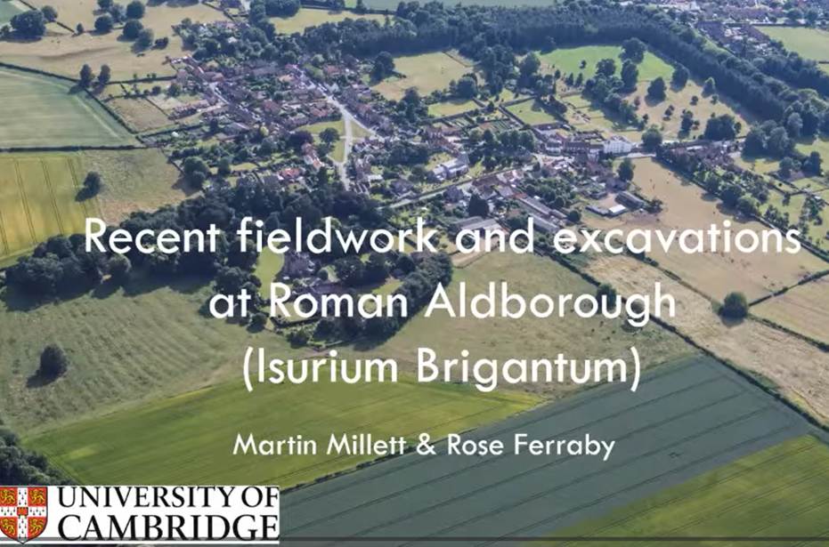
Martin Millett's recent Antiquaries' lecture on Roman Aldborough (starts after
6 minutes) |
The
University of Cambridge Aldborough
Town Project was set up in 2009 with access to its publications through
that link.
Aldborough
Roman Site and Town,
English Heritage Guidebooks.
The
Defences of Isurium Brigantum
(Aldborough), JNL
Myers, KA Steer and Mrs AMH Chitty, Yorkshire Archaeological Journal, Volume
40, page 1.
Aldborough,
West Riding, 1964: Excavations at the South Gate and Bastion and at Extra Mural
Sites, M U Jones,
Yorkshire Archaeological Journal, Volume 43, 971, page
39.
Aldborough
Roman Town: Excavations by Miss D Charlesworth 1961 to 1973 and by RCHME 1959
to 1960, Margaret
Snape et al, Yorkshire Archaeological Journal, Volume 74, 2002, page 29.
Dark
Ages? Britain forged ahead with iron long after Roman retreat, The Times, 12 September 2025.
Landscape
and Settlement in the Hinterland of Roman Aldborough, Martin Millett, 8 October 2025.