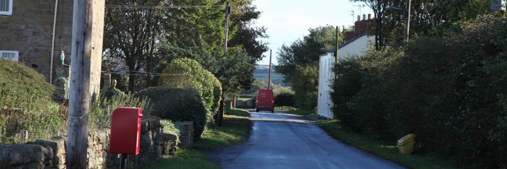
Kilton Thorpe
|
Return to the Home Page of the Farndale Family
Website |
The story of one family’s journey through two
thousand years of British History |
The 83 family lines into which the family is divided.
Meet the whole family and how the wider family is related |
Members of the historical family ordered by date of
birth |
Links to other pages with historical research and
related material |
The story of the Bakers of Highfields, the Chapmans,
and other related families |


Dates are in red.
Hyperlinks to
other pages are in dark
blue.
Headlines are in brown.
References and
citations are in turquoise.
Contextual
history is in purple.
The form and
extent of the medieval settlement at Kilton Thorpe is difficult to determine.
An area of worth earthworks survives at the northwest corner of the present
village.
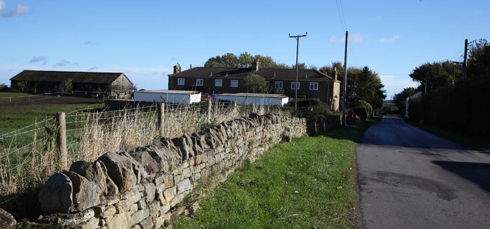
Three buildings
were shown on the 1767 map and by 1845 these had shrunk to two. In 1857 those buildings
to the south of the road had disappeared altogether, to be replaced by a single
building set back from the road and at right angles to it. The buildings to the
north of the road had been extended possibly with the construction of a state
cottages and another farmstead.
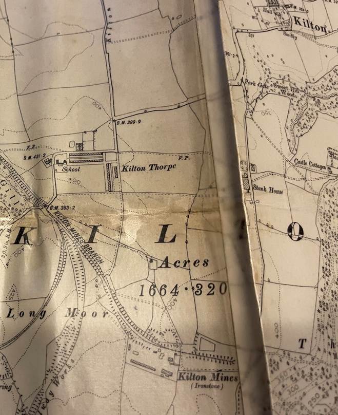
Kilton Thorpe and
Kilton Mines, 1893
There is a suggestion that the medieval location of Kilton Thorpe
was further to the north. The ancient route of Braysgate,
which connects to the site of the mill may have extended westward to a more
northerly medieval Kilton Thorpe in the area of Thorpe
Field and Middle Field marked on the 1767 Estate Map. The move may have been to
exploit the area of Long Moor – moor generally refers to an area of rough
grazing rather than cultivated fields. It has been suggested that the movement
of Kilton Thorpe to its current location may have been after the twelfth
century. (Robert
Daniels. 1990. Kilton: A Survey of Moorland Fringe Township in Medieval
Rural Settlement in North East England.
Architectural and Archaeological Society of Durham and Northumberland Research
Report No 2, edited by B E Vyner, page 48-49).