Maiden Castle, Beeston Castle and the Hill Forts of the Sandstone
Ridge, Cheshire
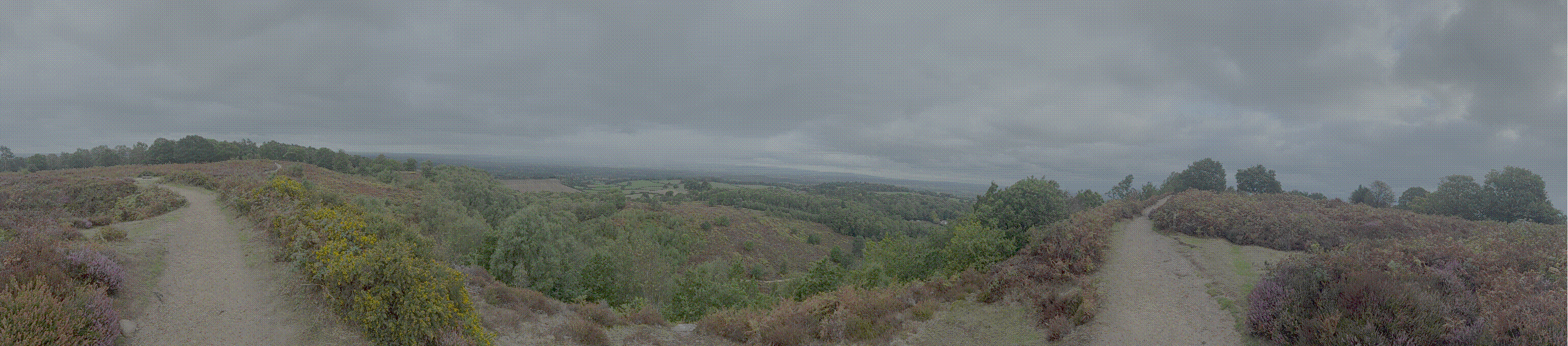
The high ground over the Cheshire flatlands
|
Return to the Home Page of the Bakers Family part of the website |
The Bakers of Highfields Story
The Story of the Dods and Bakers and of Highfields, Fenton
House and Hasfield Court. A journey through the history of Cheshire and
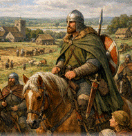
Staffordshire, an Anglo-Saxon nobleman who retained his lands after the
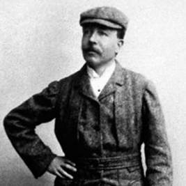
Conquest, pottery at Stoke on Trent, an encounter with Elgar, and the history
of an Elizabethan manor house at Audlem |
The family tree of the Bakers of Highfields |
The Family Tree of the Dods, predecessors to the
Bakers of Highfields |
The Bakers of
Fenton House and Hasfield Court
The Family Tree of the pottery Bakers of Stoke on Trent |
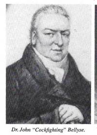
The Family Tree of the Bellyse Family |
The main part of
this website tells the story of the Farndale family from Yorkshire Descendants of Arthur Baker, the story of the
Farndale ancestry is told through the main part of this website You can also return to the Farndale
website home page |
The genealogy of the family of James Hall, linked to
the Baker family through marriage to Arthur Baker |
Headlines of are
in brown.
Dates are in red.
Hyperlinks to
other pages are in dark
blue.
References and
citations are in turquoise.
Context and local
history are in purple.
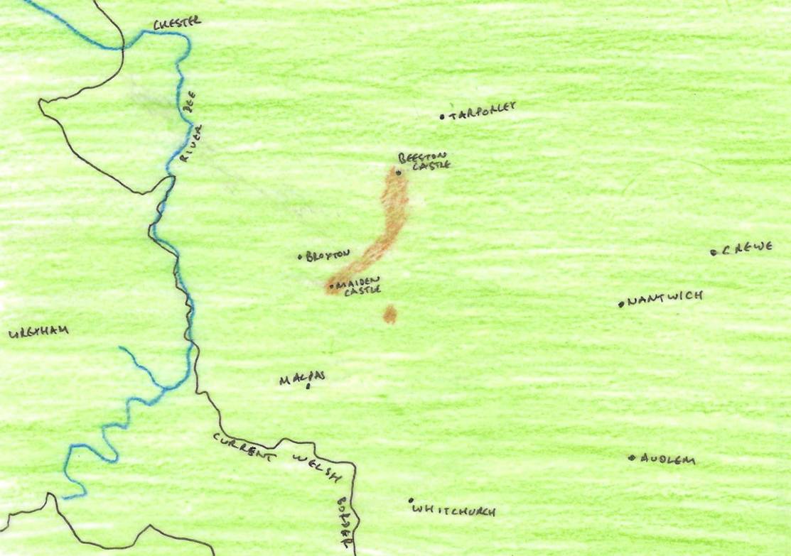
Maiden Castle
Maiden Castle in Cheshire is an Iron Age hill fort on Bickerton
Hill, occupied from around 900 BCE until the Roman conquest in the 1st century
CE. It sits at 211 meters above sea level on the southern end of the Mid
Cheshire Ridge (Bickerton Hill), offering views over the Dee valley. It covers about
3 acres, using natural sandstone cliffs to the west and twin curved ramparts
with a ditch protecting the gentler slopes to the south and east. It is
one of only seven Iron Age hill forts in the county of Cheshire. There are a
series of six such hillforts on the Sandstone Ridge. (Maiden
Castle Iron Age promontory Fort, Bickerton Hill, Historic England MNA118649.
History
of Maiden Castle, English Heritage).
Maiden Castle at
Bickerton on a west facing height at the south end of the sandstone ridge; Beeston
on its isolated outcrop; Eddisbury on the central ridge, distantly
visible from all dies; Woodhouse at the highest point at the north end
of the ridge; and Helsby commanding long views over the Mersey estuary. Whatever
underpinned the development of such sites, it apparently included maritime
trade through the long-lived settlement on the end of the Wirral at Meols in Hoylake and probably the earliest stages in the
development of the salt industry in central Cheshire. (Hartwell, Clare and others (2011), Cheshire in The
Building of England series originated by Nikolaus Pevsner, Yale University
Press, page 9).
For Meols see Thompson, FH (1965), Roman Cheshire, page 97. See also Hume,
A Rev (1863), Ancient Meols.
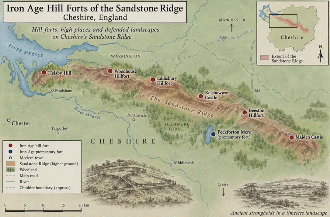
The Hillforts on the Sandstone Ridge (sketched
by artificial intelligence, the ridgeline is not quite right, but is indicative
of the layout of the hill forts)
To the west the fort is defended by the natural cliff edge, while
two semi-circular ramparts enclose the southern and eastern sides. These once
stood two metres high and were made of dry stone
walling with a core of earth and timber. The fort had an inturned
entrance, that strengthened the weakest point of the defences. Excavations at similar
sites have shown that these forts were once bustling settlements with timber
roundhouses, storage buildings, rubbish pits, track ways and enclosures for
animals.
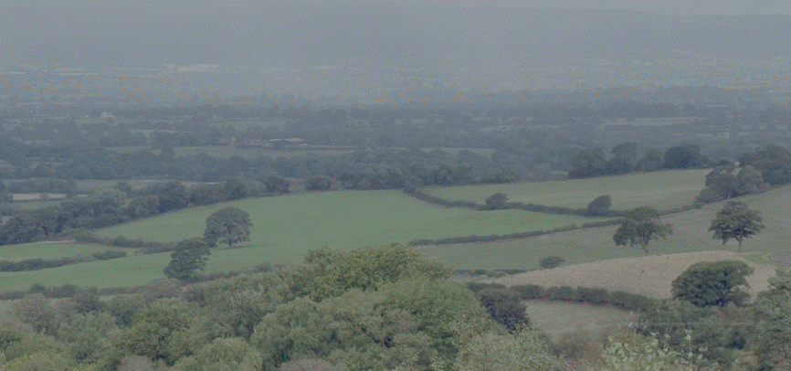
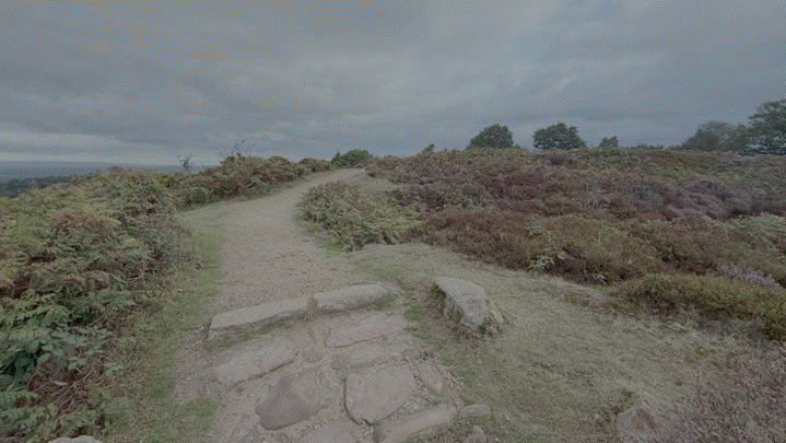
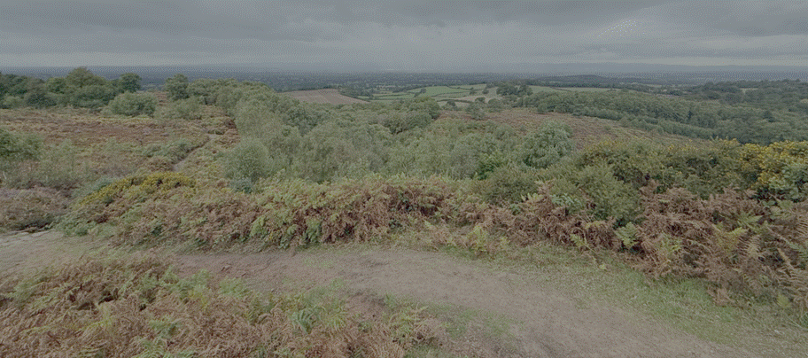
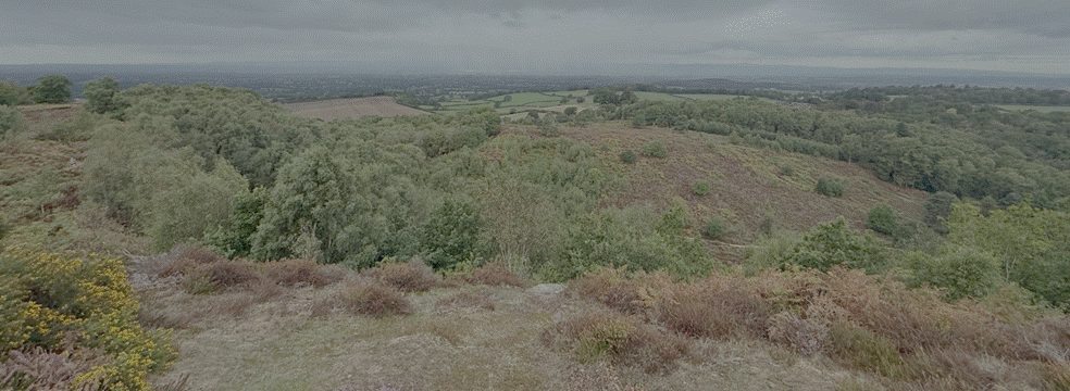
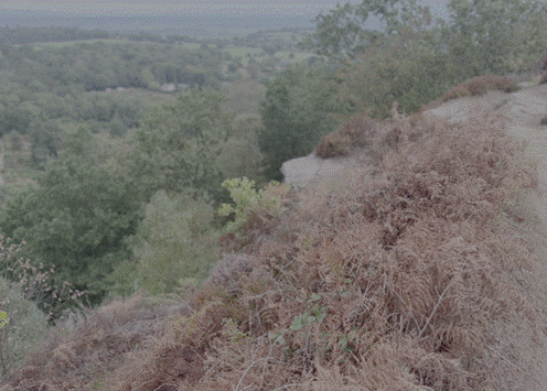
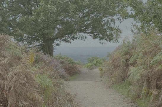
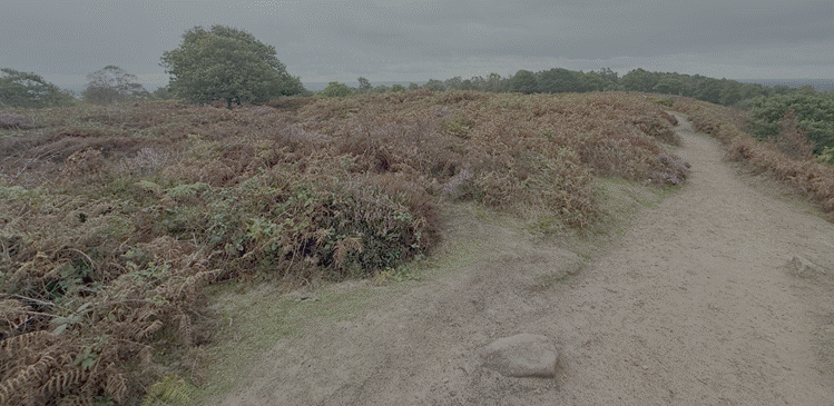
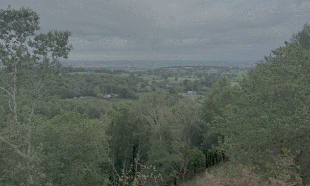
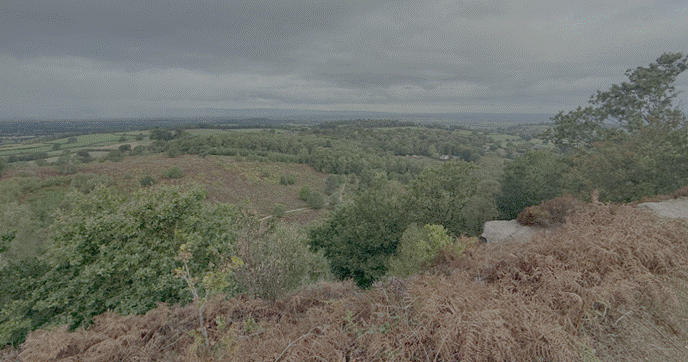
(Photographs September 2026, by the
author)
Bickerton Hill is one of few remaining areas of heathland in
Cheshire. The landscape is a timeless one where views from the hillfort across
the heath towards the distant hills will have changed little for generations. It
is a place of wild and rugged tranquillity where wildlife is abundant in all
its splendour. Bickerton Hill is a Site of Special Scientific Interest for its
lowland heath and is under the care of the National Trust.
The heath has seen a variety of land uses over the last century
allowing birch, pine and oak to grow and shade out the bilberry and heather
that had been encouraged by centuries of grazing which ended in the 1930s.
Excavations, principally by William Varley in 1934–1935 and later work
in 1980, suggest three main building phases.
c 900
BCE
Phase 1 (Early Iron Age) was an early freestanding timber
palisade. Hillfort building began throughout Britain over 2,600 years ago,
perhaps marking the emergence of larger tribal groupings, ruled by new elites.
The first version of Maiden Castle was probably constructed around this time,
at the eastern end of the hill. A single earthen rampart and ditch were dug,
enclosing an area the size of ten football pitches. This project must have required
careful planning and hundreds of workers. The early Iron Age builders chose to
follow the perimeter of the Neolithic enclosure, abandoned nearly 3,000 years
earlier. This offered little practical advantage, so perhaps the community was
showing respect for an ‘ancient relic’. The heavily disturbed remains of the
early fort’s western rampart and gateway can still be seen. The rest of its
perimeter was incorporated into the later ramparts, producing sharp changes of
angle in the eventual plan. (History
of Maiden Castle, English Heritage).
c 470
BCE
Phase 2 (Middle Iron Age) added an inner rampart made of sand and
timber, faced with dry-stone walling. About 2,400 years ago, the hillfort’s
defences were extended westwards to enclose three times the original area,
making it one of the largest hillforts in Britain. The inner rampart was now 1¼
miles (2km) long – the builders would have needed hundreds of oak trees to
construct the palisade that topped the chalk bank. Such a long perimeter would
have been difficult to defend and no well is known
within the defences which could have provided water for a besieged community.
However, Iron Age warfare typically took the form of heroic confrontations
rather than sieges. (History
of Maiden Castle, English Heritage).
c 400
BCE
Phase 3 provided a more complex outer rampart that evolved from a
timber palisade and dump bank into a stone-faced structure. An inturned entrance with gateposts sat at the
northern/eastern end. Over the next 300 years, extra ramparts were added and
the inner rampart was remodelled and enlarged several times. The entrances to
the fort became increasingly complex as ramparts were added and gateways
redesigned. Pits found near both gateways contained thousands of beach pebbles,
which were slingshots – ammunition for the defenders’ slings which could be
propelled up to 100 metres with deadly accuracy. Within the hillfort,
roundhouses were arranged in rows, facing onto tracks wide enough for carts.
This major reorganisation suggests that some individual or group exercised
control over life within the fort. (History
of Maiden Castle, English Heritage).
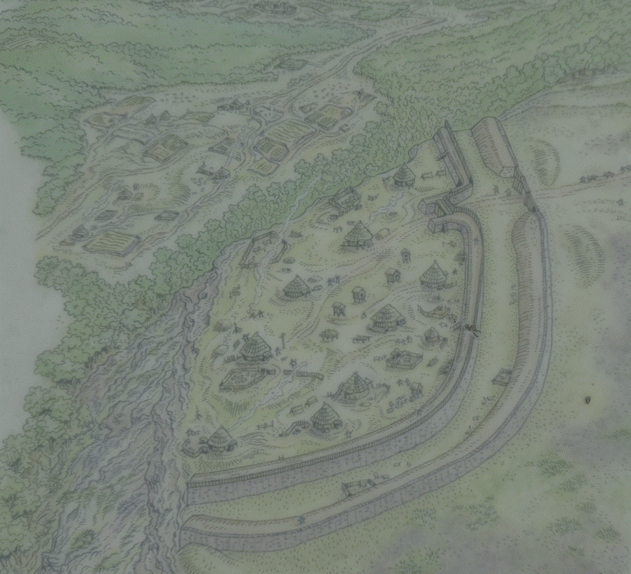
First
Century CE
Occupation likely ended with the Roman conquest in the 1st century
AD, though local Cornovii tribal presence is unverified by distinct artifacts.
Mortimer and Tessa Wheeler excavated at Maiden
Castle in 1934 to 1937 and their conclusions still
influence interpretation of the hillfort. In the eastern gateway, they
unexpectedly unearthed a large middle and late Iron Age cemetery. Among the 52
graves investigated, a cluster of 34 skeletons, dating to the very end of the Iron
Age, showed horrifying injuries. The dead were mostly males in their 20s and
30s, including two buried together in a single grave. Another had a small,
square hole in his skull, possibly made by a Roman ballista (a large crossbow).
A woman in her late 20s apparently had her wrists tied before she was stabbed.
Mortimer Wheeler interpreted the burials as a ‘war cemetery’, resulting from
an attack on the gateway by the Roman Second Legion in AD 44, under the command
of the future emperor Vespasian. Subsequent research has questioned
various aspects of the Wheelers’ findings. However, a 2006 analysis of the
skeletons confirmed that 75% of the late Iron Age bodies found on site and 88%
of those in the ‘war cemetery’ had indeed suffered trauma. More recent research
based on radiocarbon dating and analysis of burial patterns concluded that
those with weapon injuries may have been buried over a number
of decades before the Romans invaded in AD 43. But the radiocarbon date ranges
could also indicate that many of these burials took place within a short space
of time, whether over a few years or after one violent episode. (History
of Maiden Castle, English Heritage.
Smith, M, Russell, M and Cheetham, P (2025), Fraught with high tragedy: a
contextual and chronological reconsideration of the Maiden Castle Iron
Age “war cemetery” (England), in Oxford Journal of Archaeology, volume 44,
pages 270 to 295). There is an English
Heritage podcast about the Iron Age war cemetery.
370 CE
Around AD 370, a Romano-British temple was
built within the long-deserted hillfort. A new stone gateway was built across
the eastern entrance, suggesting that the ancient ramparts had become the
boundary of a sacred enclosure. (History
of Maiden Castle, English Heritage).
Beeston Castle
5,000
BCE
Mesolithic and Neolithic
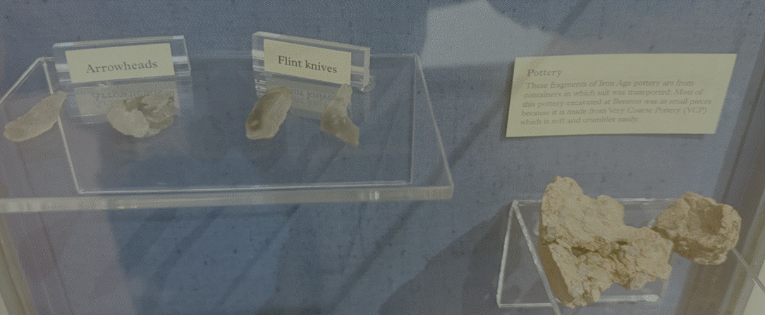
People gathered at the rocky crag as early as the 4th millennium
BCE (Neolithic period), leaving behind flint arrowheads. Evidence
for early human activity on the site is provided by worked flint tools dating
to the Neolithic period (4000–2400 BC). (Beeston
Castle History, English Heritage).
3,000 BCE
Around 4,000 years ago the wooded slopes of Beeston Crag were
first cleared as prehistoric people gave up their lifestyle of semi-nomadic
hunters and gatherers to create more settled agricultural communities.
Bronze Age
2,500
BCE
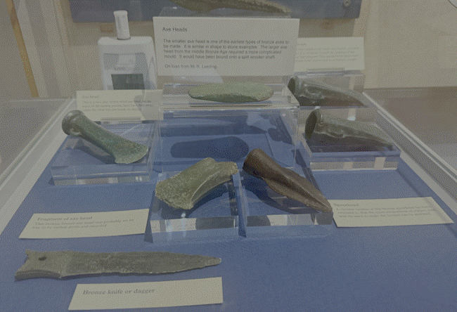
There was an increase in the use of metal
across Europe around 2,500 BCE. This started with copper and then developed
into bronze and finally iron. The community living on Beeston Crag learnt the
process of casting and shaping metal. In the Bronze Age a special importance was
attached to metal working. Two perfect axe heads were buried as a ceremonial
deposit when the defensive bank around the settlement was built. There is some
evidence of metal working in the Iron Age, though this was not as important as
it was in the earlier Bronze Age. The metal ore was mined, most probably
locally. It was then heated to a very high temperature and the molten metal
allowed to run off. This was then cooled to form ingots. The ingot was melted
and poured into a mould, usually made of clay. Once the metal had solidified
the mould was broken, leaving the finished item. In order to
ensure the complete casting of the loop of an axe head, an extra cavity was
added to the mould beneath the loop. This allowed any gases to escape.
Examination of the bronze objects from Beeston shows that they were made of an
alloy of copper, lead and tin. All these objects contained the same proportion
of copper, lead and tin which suggests that they were made from items which
were constantly recycled. (Beeston Castle
information).
There is some evidence for early Bronze Age
(c.2400–1500 BC) burial mounds and funerary material from the lower part of the
crag, suggesting that it had ritual significance. (Beeston
Castle History, English Heritage).
1270 to
830 BCE
A Bronze Age community used the site around 1270 to 830 BCE,
building early ramparts and round buildings. Excavations have
uncovered bronze axes, tools, and crucibles, showing the site was a regional
centre for trade and metalwork.
Archaeological excavation in the 1970s and
1980s showed that the hilltop was fortified around 1000 BC (during the later
Bronze Age) with a simple bank at the base of the crag, probably with a wooden
palisade (Beeston
Castle History, English Heritage).
The first community on the crag was
established in the Bronze Age. A defended enclosure of a bank of stone and
earth with a timber palisade was constructed on top of the hill. Timber
roundhouses were built within the enclosure in order to
provide housing, storage and workshops. The surrounding landscape would have provided
most of the settlement's needs. Clay for making pots, stone for sharpening
tools and grinding corn, and timber for building were all obtained locally. The
low-lying Cheshire plain provided good agricultural land and local woods were
good hunting grounds. At the foot of Beeston Crag the
existence of copper ore made possible the manufacture of bronze weapons, tools
and jewellery. (Beeston Castle
information).
Some products that the settlement needed could
not be obtained locally and had to be traded from other regions. High quality flints for tools and weapons had to be imported
from Yorkshire and Lincolnshire, as local flint is of poor quality. Flint was
most likely traded in a partially finished state, which could then be processed
into the finished article on site. Salt, used for preserving food, especially
meat, was brought from the Middlewich and Nantwich area of Cheshire in
characteristic coarse pottery containers. Bronze goods made at Beeston, along with
grain, were traded in return. (Beeston
Castle information).
800 BCE
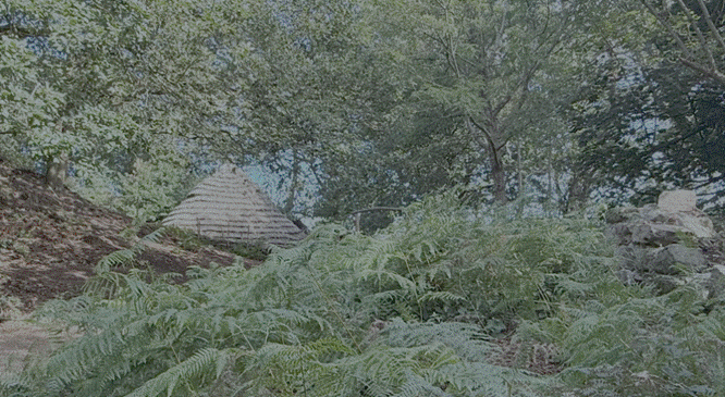
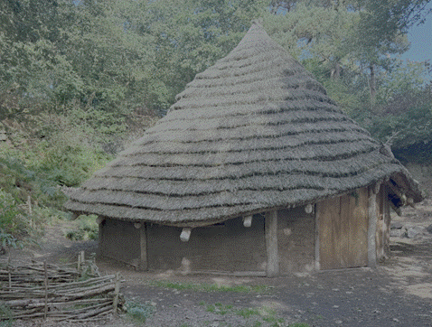
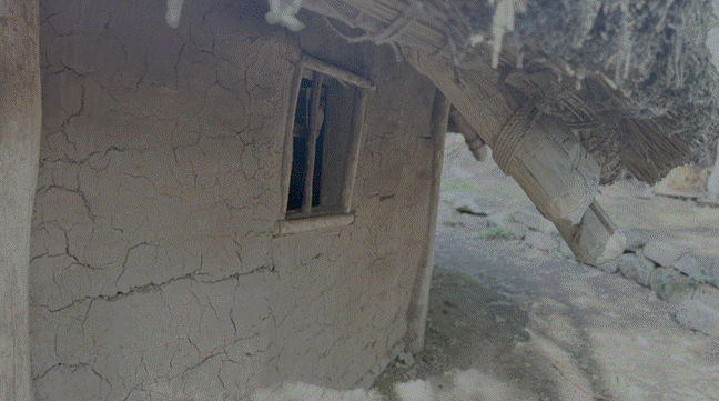
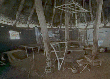
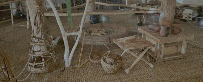
(The reconstructed roundhouse,
September 2026, by the author)
This is a reconstruction of a Bronze Age
roundhouse from about 800 BCE, based on the evidence of archaeological
excavations at Beeston Castle.
Archaeologists working at Beeston Castle in
the 1970s and 1980s discovered several Bronze Age roundhouses in the Inner
Ward, the grassed area inside the later castle walls. The excavation showed that
this hilltop was fortified around 1000 BC, two centuries before the roundhouse
was built and over 2000 years earlier than the medieval castle. English
Heritage decided to build the reconstructed roundhouse here – in what was
formerly a quarry – in order not to damage sensitive buried
archaeology in the Inner Ward. The reconstruction involves educated guesses.
Bronze Age houses were nearly always round but we had to make sense of the
pattern of archaeologically excavated postholes (which anchored the posts that
supported the buildings). The archaeologically excavated roundhouse was about
7.5m in diameter; we decided to build our reconstruction a little larger (8m
diameter) so that a school class can fit inside. Next
we had to imagine what the timber building looked like above ground. We
designed a building with 12 outer wall posts and three tall central posts, all
supporting horizontal wall-plate timbers. The rafters rise from the outer
circle of wall-plates to meet the higher inner plates. Local volunteers carried
out the reconstruction in 2019, in a project led by English Heritage and Luke
Winter (Historic Concepts Ltd). Just as in the Bronze Age, traditional local
materials were used to build the roundhouse: oak for the main posts, hazel and
ash for the walls and roof, and reeds for the thatch. (Beeston Castle information).
The timber houses of prehistoric settlements
were usually circular, and required many trees for
their construction. They had no windows and the single doorway generally faced south
to catch as much sun as possible. The roofs were constructed of turf or rushes, and contained a smokehole
above a central hearth.
The most complete picture of Bronze Age
clothing comes from the preserved remains of Danish Bronze Age burials, where
women were buried in woollen clothes of long skirts and short tunics. Women's
hairstyles were elaborate, held in place by bands and slides. Men wore knee
length wrap-around skirts or kilt-like woollens as well as tunics, cloaks and even
one-piece garments. They generally wore shaven, long haired and wore round
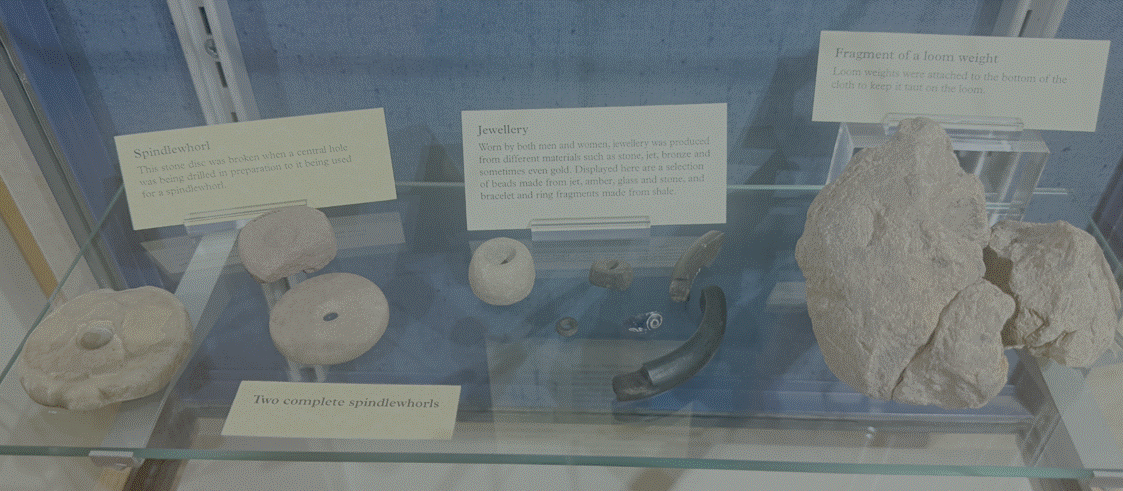
woollen hats. Footwear consisted of moccasins, sandals or cloth wrappings. Loom
weights were used in weaving, and spindlewhorls were
used to give momentum and tension to wool whilst spinning. The discovery of
these suggests that spinning and weaving were part of daily life. Activities
such as cooking, spinning and weaving may have taken place in an outbuilding
rather than the main family house. (Beeston
Castle information).
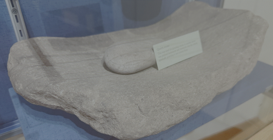
The fertile plain, as well as the
free-draining sides of the crag, provided good agricultural land for the
prehistoric communities. The main crops grown were emmer and spelt (types of
wheat), some barley and wild oats. Seeds from hazelnuts, blackberries,
raspberries, dewberries, sloes, cherries, and plums were all found on the site,
though they probably grew as wild plants. Cattle, sheep and pigs were kept to add some variety to a mainly cereal diet. Cattle also
provided milk, and chickens were kept to supply the
community with eggs. Salt and honey were also used to flavour and sweeten food. (Beeston Castle information).
Iron Age
The earliest defensive earthworks on the crag date back to the
late Bronze or early Iron Age. During the later Iron Age, inhabitants fortified
the site further and added storage facilities to protect against attackers.
It
grew to become one of the largest hillforts in the Cheshire area, featuring
roundhouses where ancient communities lived. (Beeston
Castle, Historic UK. England’s
Impregnable Rock Fortress, Beeston Castle, Civil War Siege, Lost Gold &
Ancient History, YouTube).
During the early Iron Age (c 800–450 BC) the
existing bank was enlarged and given an accompanying external ditch to create a
large defended enclosure, or hillfort. An excavated cache
of slingshot near the castle’s outer gatehouse suggests that the entrance was
on the same site. (Beeston
Castle History, English Heritage).
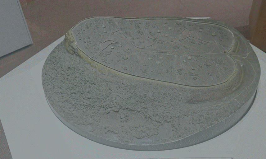
Reconstruction of the Iron Age hillfort at the
castle museum
450 BCE
In the later Iron Age (c.450 BC–AD 40) a substantial earthwork
bank, strengthened with stone rubble and topped with a wooden palisade, was
built. (Beeston
Castle History, English Heritage).
Medieval
1066
William the Conqueror created the Earldom of Chester to act as a
defence against the hostile Welsh Princes. It was one of the richest in the
land with estates stretching from Cheshire to Lincolnshire.
Beeston was a settlement in Domesday Book, in
the hundred of Rushton and the county of Cheshire.
It had a recorded population of 2 households in 1086, putting it
in the smallest 20% of settlements recorded in Domesday. (Powell-Smith, Anna, Beeston, Open
Domesday). It was in the possession of Wulfwy
in the waning Anglo-Saxon world. After the Conquest it was held by Robert, son
of Hugh.

Robert, son of Hugh, also called Robert FitzHugh,
was a prominent Norman baron and the first Baron of Malpas
in Cheshire. Robert was recorded holding roughly 30 to 43 townships and manors
in Cheshire and along the Welsh border (mostly cantered in the Hundred
of Duddeston), including Malpas, Christleton, Tilston, Cholmondeley, Burwardsley,
and Beeston.
1200
During the baronial civil war of King John’s
reign (1199–1216), Ranulf, Earl of Chester (1170–1232), was a staunch supporter
of the royal cause and received titles, castles and land across England in
return for his loyalty. (Beeston
Castle History, English Heritage).
1220
Ranulf de Blundeville, 6th Earl of
Chester, built Beeston Castle on the crag in the 1220s. Ranulf, Earl of
Chester left in 1218 for the Crusades, returning two years later. Inspired by the
castles of the Middle East, he began to construct a castle of the latest and
most modern design. The site he chose was Beeston Crag on his Cheshire estates.
This was virtually inaccessible and in a position to
control the main medieval route from Chester and the Midlands to the South of
England. (Beeston Castle information).
Ranulf de Blundeville
was only a child of 11 when he became 6th Earl. He spent much of his early
adulthood based in Chester, from where he concentrated on his estates in France.
When King John lost Normandy to the French in 1204, Ranulf turned his
attentions to his English estates, particularly those on the Welsh border.
Ranulf pacified Prince Llewellyn of Gwynedd, his principal Welsh opponent, with
a series of treaties and the marriage of his nephew and heir, John le Scot, to
Llewellyn's daughter. Ranulf was a major political figure at court, a diplomat
and a very good soldier. He remained loyal to King John and had great influence
at court when Henry III, as a child, succeeded John. (Beeston Castle information).
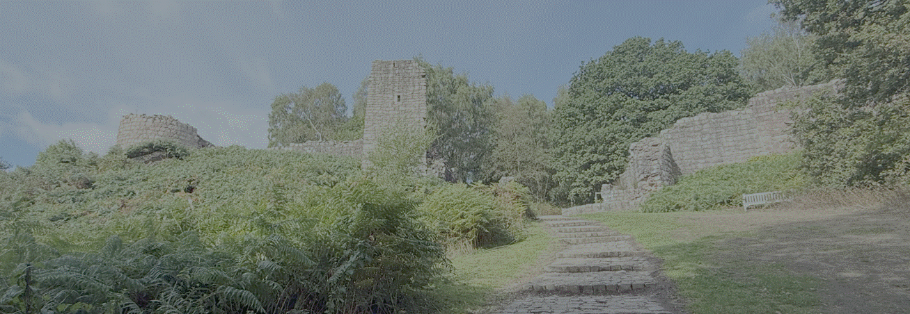
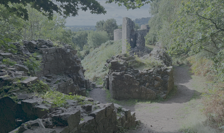
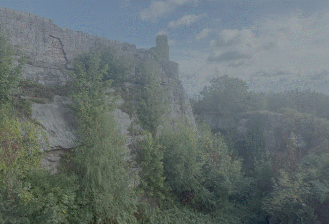
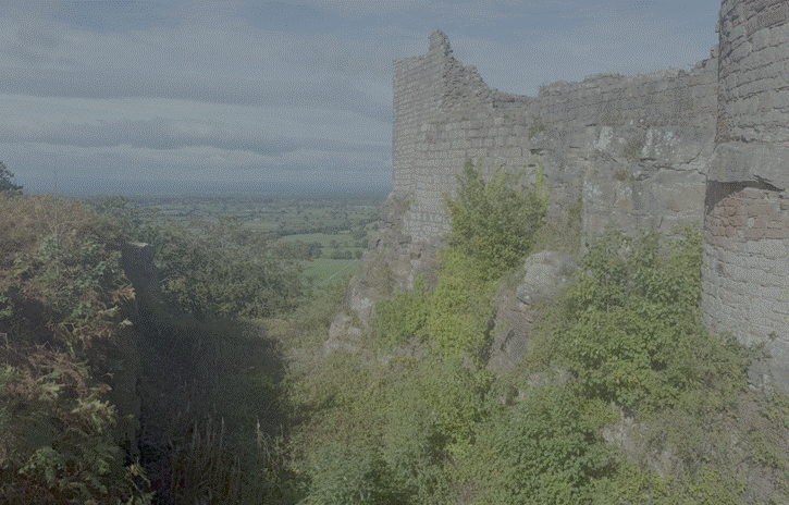
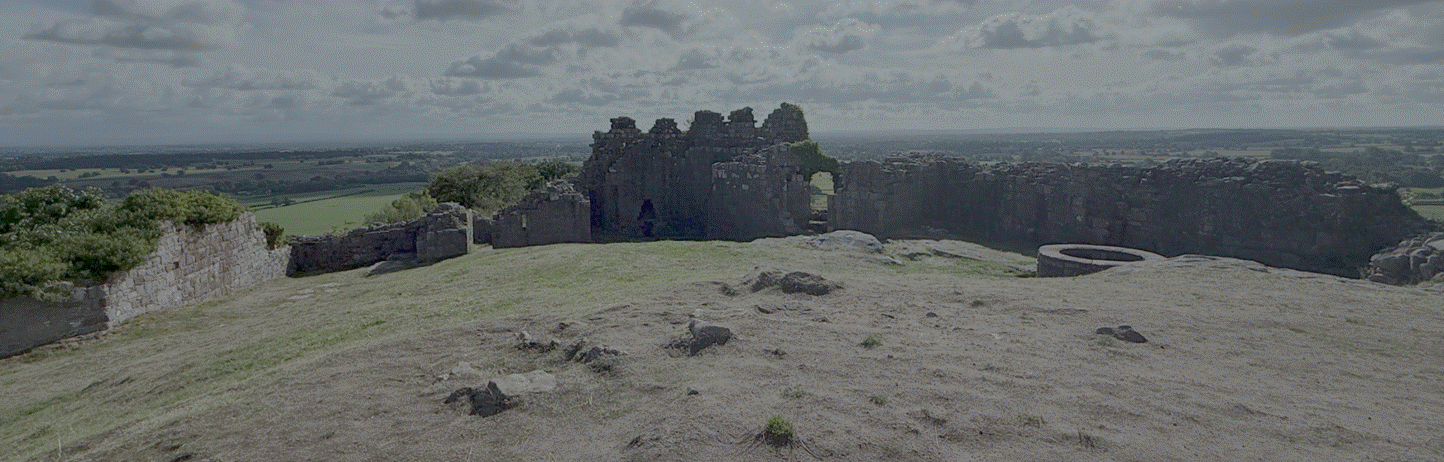
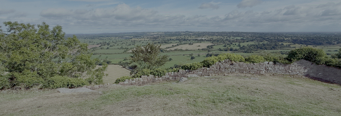
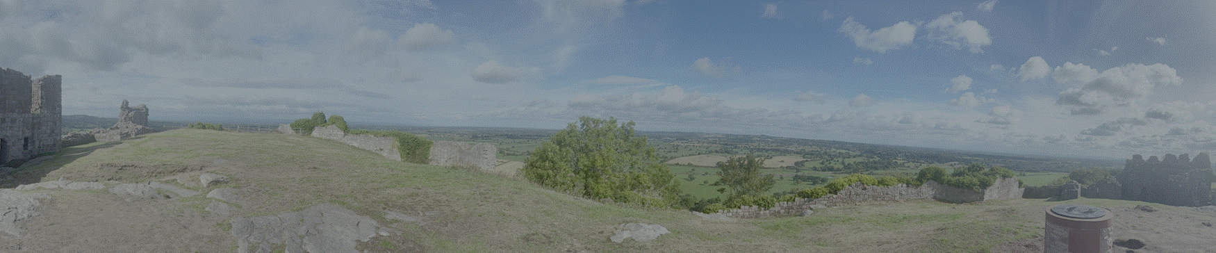
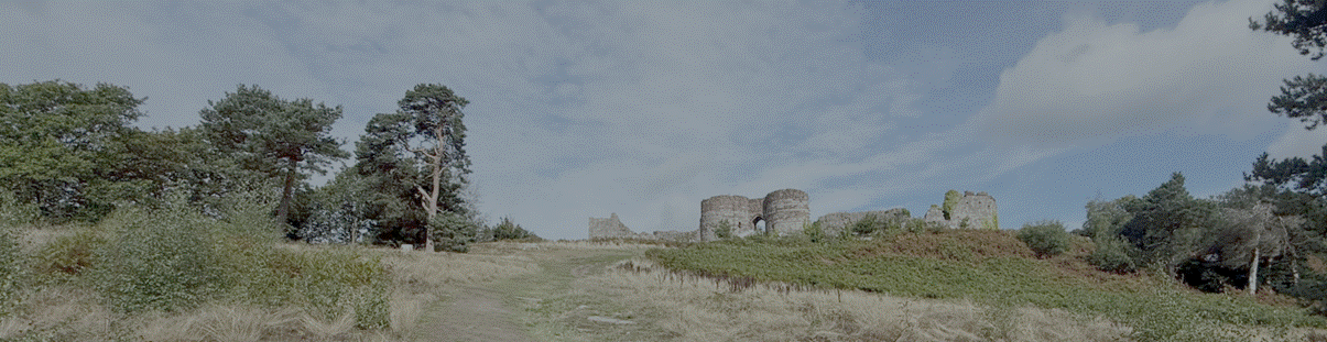
(Beeston Castle by the author,
September 2026)
It is uncertain how much time Ranulf spent at
Beeston. However, throughout most of the Middle Ages a garrison of around 30
men was based there to guard the castle. The size of the garrison changed in
response to times of conflict with Wales. The castle was used as a prison for Welsh
captives and had a small administrative role, but it was always overshadowed by
Chester. Virtually all the goods the garrison required came from Chester and
the local area. The castle's wells supplied water and the Earl's tenants would
have provided food. Cloth, rope, timber, metals and pottery would all have been
obtained at the local market or from Chester merchants. (Beeston Castle information).
The pottery from Beeston Castle mainly consists
of cooking pots, storage vessels and jugs. Some pipkins, small frying pans,
were glazed inside, and evidence of sooting shows that this may have been
intended to provide a non-stick surface. Some drip pans, which would have sat
in the fire under a roasting spit, were excavated, as well as pots that
contained a residue from boiling water. Bone and ivory dice were found, which
show that the soldiers had time to gamble and relax as well as practising their
military skills. A priest also lived at the castle to look after the religious
needs of the garrison. (Beeston Castle
information).
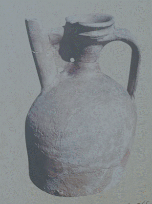
A medieval jug discovered at Rievaulx Abbey, similar to
pots used at Beeston Castle.
1232
Ranulf died in 1232 and Beeston, together with
the Earldom of Chester, was granted to Ranulf’s nephew, John le Scot. On John’s
death in 1237 Henry III seized the earl’s estates, including Beeston. (Beeston
Castle History, English Heritage).
1254
In 1254 Henry III granted Beeston and the
Earldom of Chester to his son, the future Edward I (r.1272–1307), and so
Cheshire became part of the royal lands. Throughout the late Middle Ages
Beeston was overshadowed in importance by the castle at Chester, which was the
base for English military expeditions against the Welsh. Intermittent payments for
knights and sergeants and references to prisoners suggest that it may have
functioned as a secure place in which to retain hostages. (Beeston
Castle History, English Heritage).
1303
Between September 1303 and September
1304 a total of £109 2s 4½d was spent on works, indicating more than
routine maintenance. (Beeston
Castle History, English Heritage).
1333
In 1333 it was reported in a survey that the castle was ‘well and
surely sited on a rocky eminence, and very well enclosed’ and that no repairs
were necessary. (Beeston
Castle History, English Heritage).
1540
The antiquarian John Leland wrote
in about 1540 that the castle was ruinous.
1602
In 1602 the manor of Peckforton, which
included Beeston, was sold to Hugh Beeston.
1642 to
1651
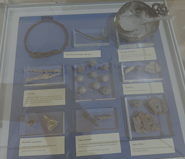
The distribution of the armour and weapons
found in the castle provides an interesting picture of how the castle was used
during the Civil War. Spurs and highly decorated fragments of armour, such as
gilt buckles, were found in the Inner Bailey, and this suggests that the
Royalist officers were based here. Whereas low quality
armour used by the ordinary soldier, including objects such as a buckle from a
pikeman's uniform, was found in the Outer Gateway. The main concentration of
flattened shot and musket parts, lost in the heat of battle, is around the
Outer Gateway indicating that this is where most of the fighting took place.
The discovery of waste connected with the production of lead shot, as well as
scrap lead awaiting manufacture suggests that lead shot was also made here. (Beeston Castle information).
Under the command of Sir William Brereton, the
Parliamentarian forces initially captured the castle in 1643 and began to
rebuild the defences. Beeston became a supply base for the Parliamentarian
forces as fighting moved elsewhere. It was garrisoned with second class troops
led by Captain Thomas Steele, an ex-cheese dealer from Chester! The Royalists
recaptured the castle in 1644. They added timber buildings to house cattle and sheep, and widened the medieval arrow slits for the use of
muskets. (Beeston Castle information).
Theire was
neither meate, Ale nor Beere, found in the Castle,
save onelie a peece of a
Turkey pye, Twoe Bisketts,
a lyve Peacock and a peahen.
Life was very hard during the Civil War, as
fighting raged across the whole country. The soldiers were often far from both
home and family, with meagre rations. Boredom and despair were constant
features of life. The everyday items left behind show that, although life was hard,
the officers had a more comfortable life than the ordinary soldier. The
officers used fine pottery, imported tin-glazed plates from London and Holland,
as well as finely made and decorated glassware. Some of this was imported from
Italy, and some made in the Midlands. The ordinary soldier had to settle for
locally produced pottery and simple green glass. Local merchants supplied food
and goods to both Parliamentarians and Royalists. However
some supplies were taken by force, in particular the lead from local windows
was taken to be re-used as shot. The supply of food was the greatest worry for
the men under siege. Little food found its way through, and the cattle and
horses the Royalists kept were constantly raided by the Parliamentarians. In
contrast, after recapturing the castle the Parliamentarian Governor lived in
the Outer Gatehouse and drank wine from ornate glasses imported from Venice. (Beeston Castle information).
The castle museum displays a picture of a seventeenth century
glass window in the church of Farndon, Cheshire. It shows Royalist soldiers
from the King's army at Chester. The four central panels show weapons and
armour from the Civil War.
After the Civil War not all of the castle
was dismantled.
1703
In 1703 there was a tenant, George Walley,
living in the Outer Gatehouse. The site then passed into the ownership of Sir
Thomas Mostyn, and the hill was used for grazing and for quarrying stone. The Outer
Gatehouse was probably pulled down at this time to give better access to the
quarries. (Beeston Castle information).
1840
In 1840 the estate was purchased by John, 1st
Lord Tollemache. The quarrying continued, but repairs were made to the castle
and in 1846 this present gatehouse was built. Visitors were allowed to view the
ruins, and from about 1851 an annual fete was held in
the grounds. In 1902 a special fete was held to celebrate the coronation of
King Edward VII. (Beeston Castle
information).
Peckforton Castle
Peckforton
Castle is a Victorian country house built in the style of a medieval fortress,
recognised by historians as the last serious fortified domestic structure built
in England. The castle was commissioned by John Tollemache (later the 1st
Baron Tollemache), Cheshire's largest landowner and a wealthy Member of
Parliament. He purchased the 36,000-acre estate in 1840. Built between 1844 and
1851 using red sandstone quarried from the adjacent hills, the castle cost approximately
£60,000. Unlike common "mock" castles of the era, Peckforton
was built to authentic medieval specifications—complete with a dry moat,
working portcullis, arrow slits, and defensive towers. Tollemache built it
partly as a dramatic statement of family identity and power, and potentially as
a secure refuge from political and social uprisings of the era.
In 1840 the Peckforton
estate, which included Beeston Castle, was bought by the landowner John
Tollemache (1805–90), later 1st Lord Tollemache of Helmingham.
Tollemache was one of about 47,000 British men and women who received
government compensation after the 1833 Slavery Abolition Act, which compensated
former plantation owners for the loss of their enslaved workforce. Tollemache
received £12,669 2s 7d in March 1839 as compensation for the emancipation of
822 formerly enslaved men and women on his late father’s six sugar plantations
in Antigua. He had also inherited an initial £10,000 after his father’s death
in 1837. (Beeston
Castle History, English Heritage).
Located lower down in the valley near the village, at Peckforton Mere there are faint archaeological traces of a
prehistoric promontory fort that used the ancient wetlands as a natural
defence.
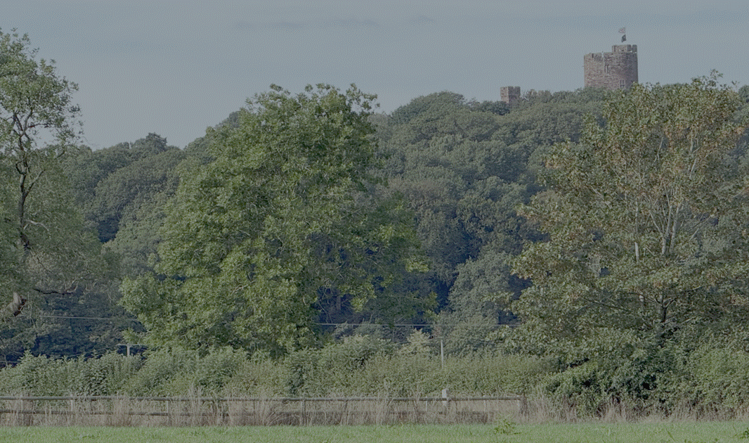
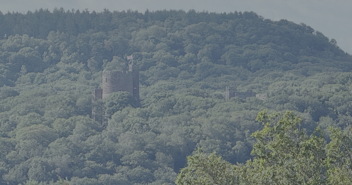
(Peckforton Castle, September 2026, by the author)
Kelsborrow Castle
Situated further north along the central ridge near Kelsall, Kelsborrow Castle is a promontory-type fort. It used the
natural western escarpment of the ridge for defence, paired with artificial
ramparts to protect the gentler eastern slopes, keeping watch over ancient
transit pathways cutting across the county.
Eddisbury Hillfort
Often considered the largest and most complex hillfort on the
ridge, Eddisbury commands expansive panoramic views. It was an
vital strategic asset across multiple eras; long after its Iron Age inception, the
Anglo-Saxons refortified the earthworks under Princess Æthelflæd of Mercia to
create a defensive line against Viking incursions.
Woodhouse Hillfort
Perched high on the northern end of the ridge near Frodsham, the
Woodhouse Hill enclosure consists of tumbled stone and earth ramparts. The area
shows exceptionally deep prehistoric roots, with archaeological finds nearby
stretching back past the Iron Age into Mesolithic hunter-gatherer flint tools
and Bronze Age burial markers.
Helsby Hill
Marking the absolute northern tip of the Sandstone Ridge network,
Helsby Hill features a rocky promontory with a celebrated summit trig point.
Its cliff edges offer sweeping defensive views over the Mersey Estuary,
allowing its prehistoric inhabitants to easily monitor incoming maritime and
river trade.Are you planning
to hike the Sandstone Trail to see some of these sites firsthand, or are you
researching the archaeological history of a specific fort? I can provide walking
routes, distance details, or deep-dive details on excavations