FAR00001A
|
Return to the Home Page of the Farndale Family
Website |
The story of one family’s journey through two thousand
years of British History |
The 83 family lines into which the family is divided.
Meet the whole family and how the wider family is related |
Members of the historical family ordered by date of
birth |
Links to other pages with historical research and
related material |
The story of the Bakers of Highfields, the Chapmans,
and other related families |

Dates are in red.
Hyperlinks to other pages are in dark blue.
Headlines are in brown.
References and citations are in turquoise.
Context and local history are in purple.
BCE - Before the common or current era. The contemporary equivalent of
BC.
CE - Common or current era. The
contemporary equivalent of AD.
kya – abbreviation for a thousand years.
YBP – Years before present.
OD – Ordnance Datum, the zero point for calculating vertical
elevation, in Britain based on the mean sea level measured at Newlyn in
Cornwall between 1915 and 1921.
A traveller in the mid
twelfth century who looked down from the moorland on Blakey Ridge into the
wilderness that would soon become known as Farndale would have seen the canopy
of an expanse of forest that filled the valley and continued southward to the
edge of the Vale of Pickering. This was frontier country at the edge of
civilisation. Human encounters with the dale over eons of time were observations
made from above the dale and not the experience of folk who lived there.
Yet the immediate
vicinity of the dale has a rich prehistory.
The geological
landscape of Ryedale and the Vale of Pickering
The range of lower hills, uplands and dales to the north of Ryedale
were shaped by Ice Age glaciers and stretch to the North York Moors, known also
as Blackamoor, taking its name from the peat soil.
To the west the limestone heathland of the higher Pennines drops to
marshy peat and shale.
To the south are the Wolds, an arc of chalk hills, once a shallow sea,
a softer land, rounded by the Ice Ages.
Further south the area around the Humber was always boggy land.
Ryedale lies at the edge of the Vale of Pickering, linked to the
larger Vale of York and the Vale of Mowbray, enriched with the silt of the
Rivers Nidd, Ouse and Derwent.
During the
later Glacial Period in various hilly districts of Britain, systems of lakes
were impounded in the valleys by barriers of morainic deposits and by the
wall-like edges of the ice sheets. Such a phenomenon occurred on a large scale
in northeast Yorkshire. And the largest of these glacial lakes was that which
occupied the extensive Vale of Pickering. This lake is estimated to have filled
to a level of about 250 feet OD before overflowing on its southern margin at a
point now marked by the Kirkham Gorge. The
Kirkdale Cave is about
175 feet OD and would therefore be subject to flooding by the rising waters of
Lake Pickering. A lake of this nature, largely fed by glacial melt waters,
which are normally charged with fine mud, is the probable source of mud found
within the cave. It is the generally accepted view that Lake Pickering is to be
associated with the last (Würm) Glaciation. The
faunal remains from Kirkdale are therefore probably of the Last Interglacial
and Last Glaciation date. (The Animal Remains
from Kirkdale Cave, J G Rutter,
reproduced in A History of Helmsley Rievaulx and District, editor, J
McDonnell, 1963, page 5).
The Geology of
Farndale
Farndale is a typical northeast dale or valley, about nine miles in
length and two miles in width in its middle reaches. There are several dales radiating from the Jurassic tableland of
the Cleveland moors. (Raymond Hayes, Farndale,
1961, unpublished, page 1).
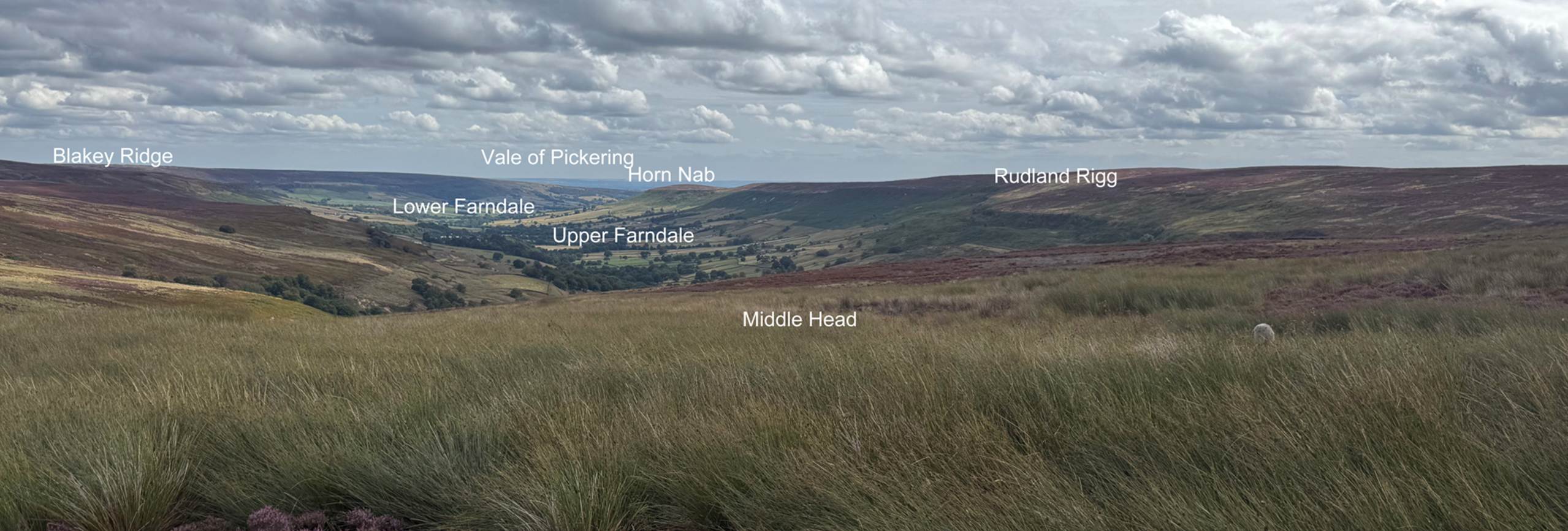
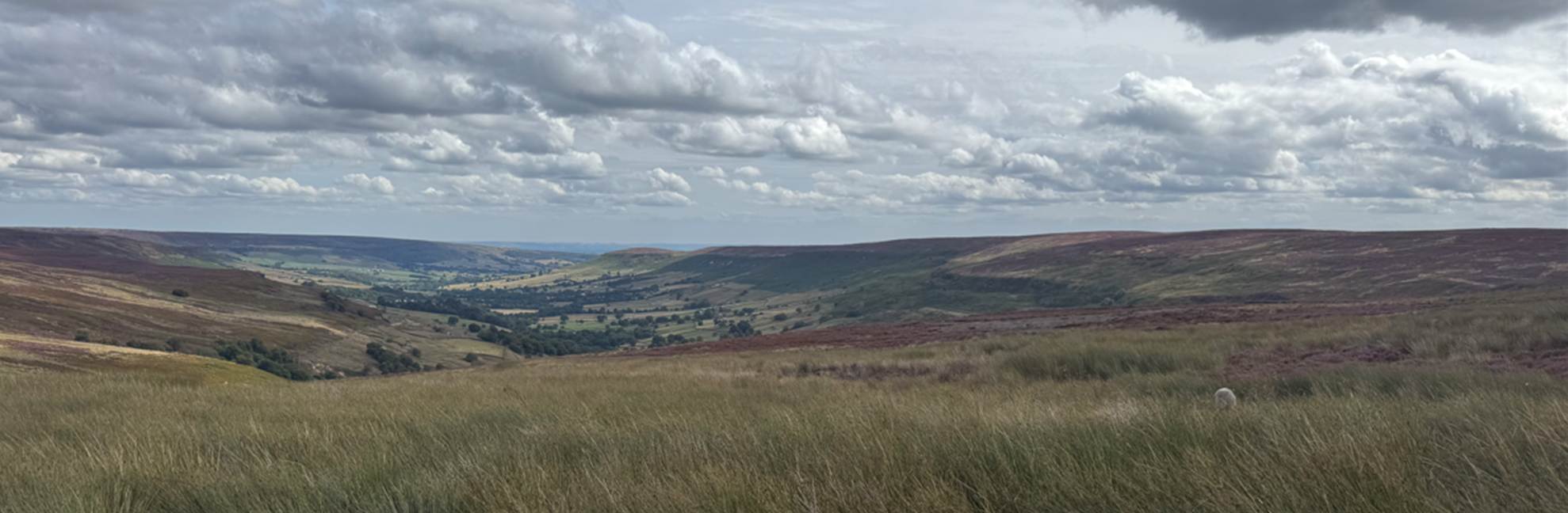
Farndale from Middle Head, August 2025
There are a series of southern dales running north to south: Ryedale,
Bilsdale, Bransdale, Farndale, and Rosedale. The dales which run northwards
from the moors are Baysdale, Westerdale, Danbydale,
Great Fryup Dale, Glaisdale, and Egton Grange.
Eskdale runs along the west to east flowing River Esk
which is fed from the moors and continues to its mouth at Whitby. The source of
the River Esk is on Westerdale Moor.
A glance at the map shows that the moors are by no means continuous
within these natural bounds, but are broken up into larger and smaller areas
separated from one another by deep valleys, the dales. The dales south of the
central watershed are much longer and larger than those to the north, and
taking them from west to east they are Ryedale, Bilsdale, Bransdale, Farndale,
Rosedale and Newton Dale. Those falling towards the valley of the Esk are Baysdale, Westerdale,
Danby Dale, Great and Little Fryup Dales, Glaisdale,
Egton Grange, Goathland Dale and Iburndale. (The Moorlands of North Eastern
Yorkshire, Frank Elgee FGS, 1912,
page 4).
Farndale's geology is defined by its plateau landscape, formed from
erosion of colitic sandstone and other Mesozoic sandstone and shale drifts,
rather than glacial action.
The central plateau of the moors reaches 454 metres at Round Hill
northwest of Farndale head and 433 metres at Stony Ridge, immediately north of
Farndale. This is a bleak, eroded plateau on the colitic sandstone between
the heads of Farndale and Westerdale (Raymond
Hayes, Farndale, 1961, unpublished, page 1).
Colite or oolitic sandstone is a type of
sedimentary rock characterized by small, spherical grains called ooids.
The dales are not the result of glacial action as the ice barrier was
not high enough. They are rather the result of gradual erosion by weathering
and water action. The ice was held in check by the Cleveland hills and its
action scoured the area which formed the great Lake Pickering, but never flowed
over the dales.
There is an In
Our Time podcast, The
Ice Ages.
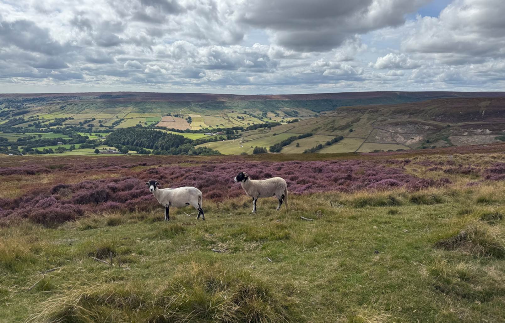
Upper Farndale from the eastern Blakey Ridge, 2025
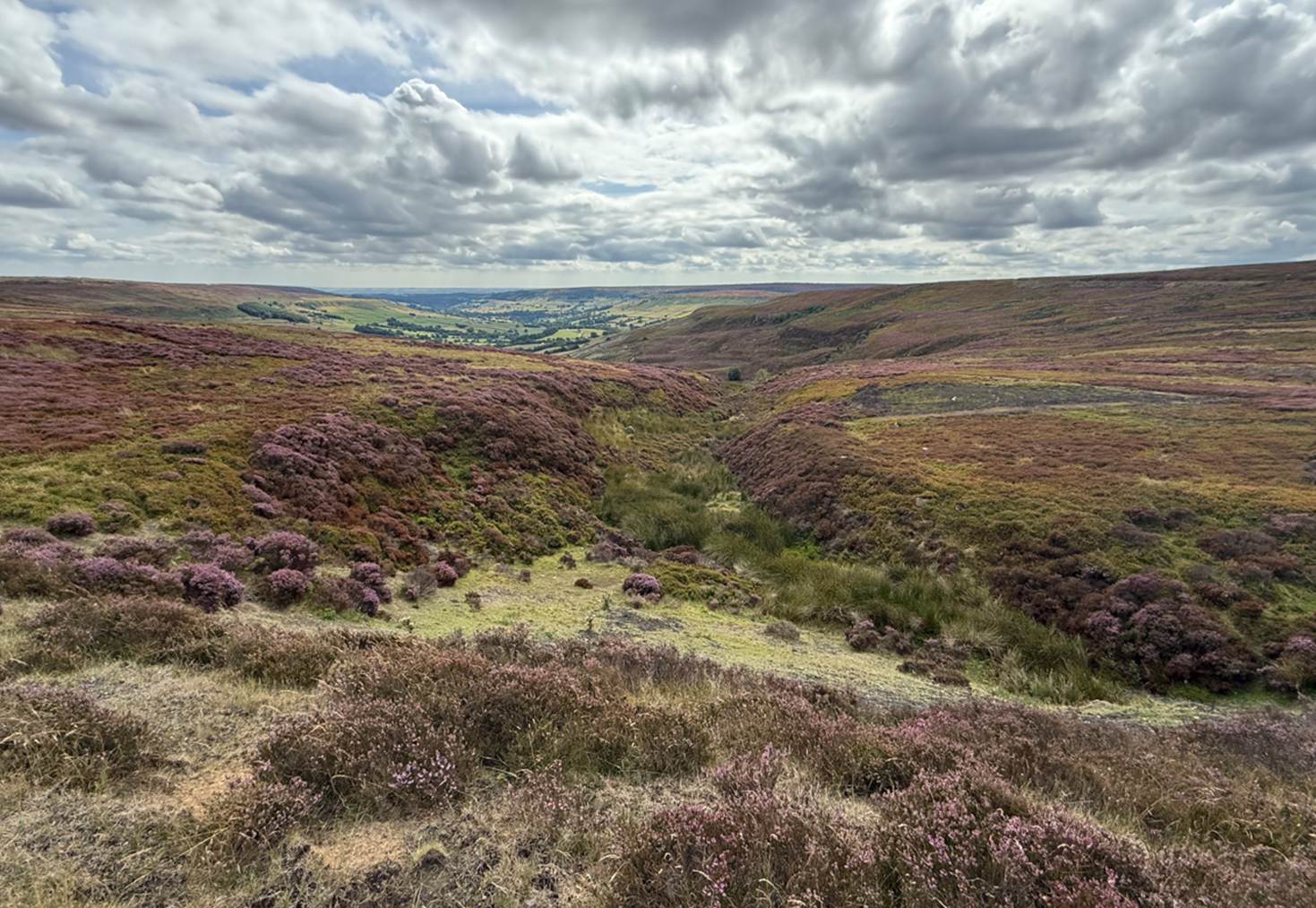
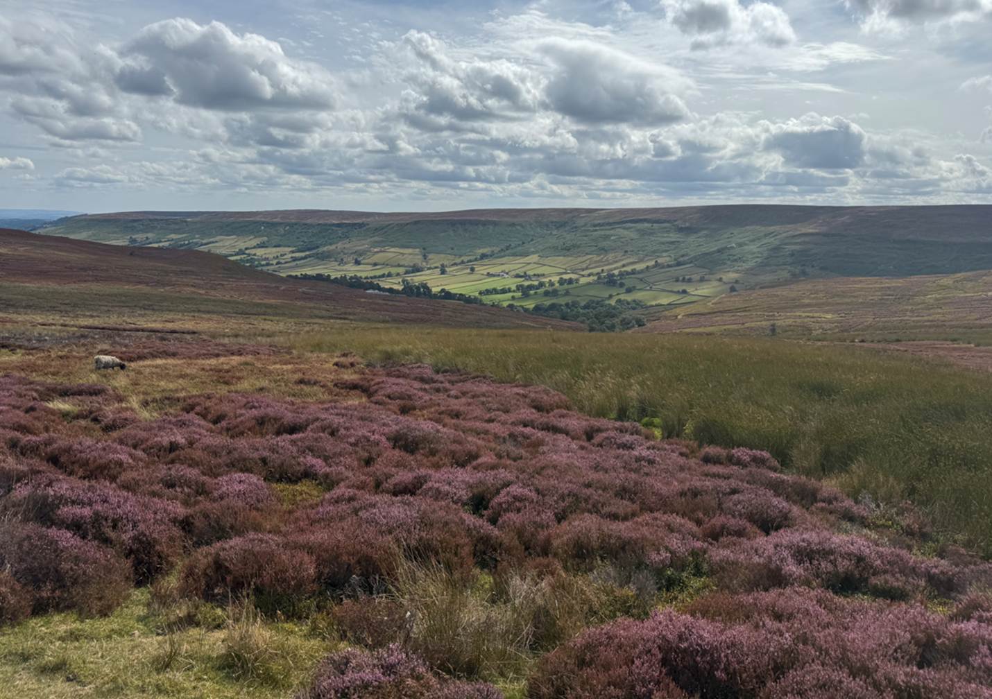
Farndale from the northern ridge on Farndale Moor
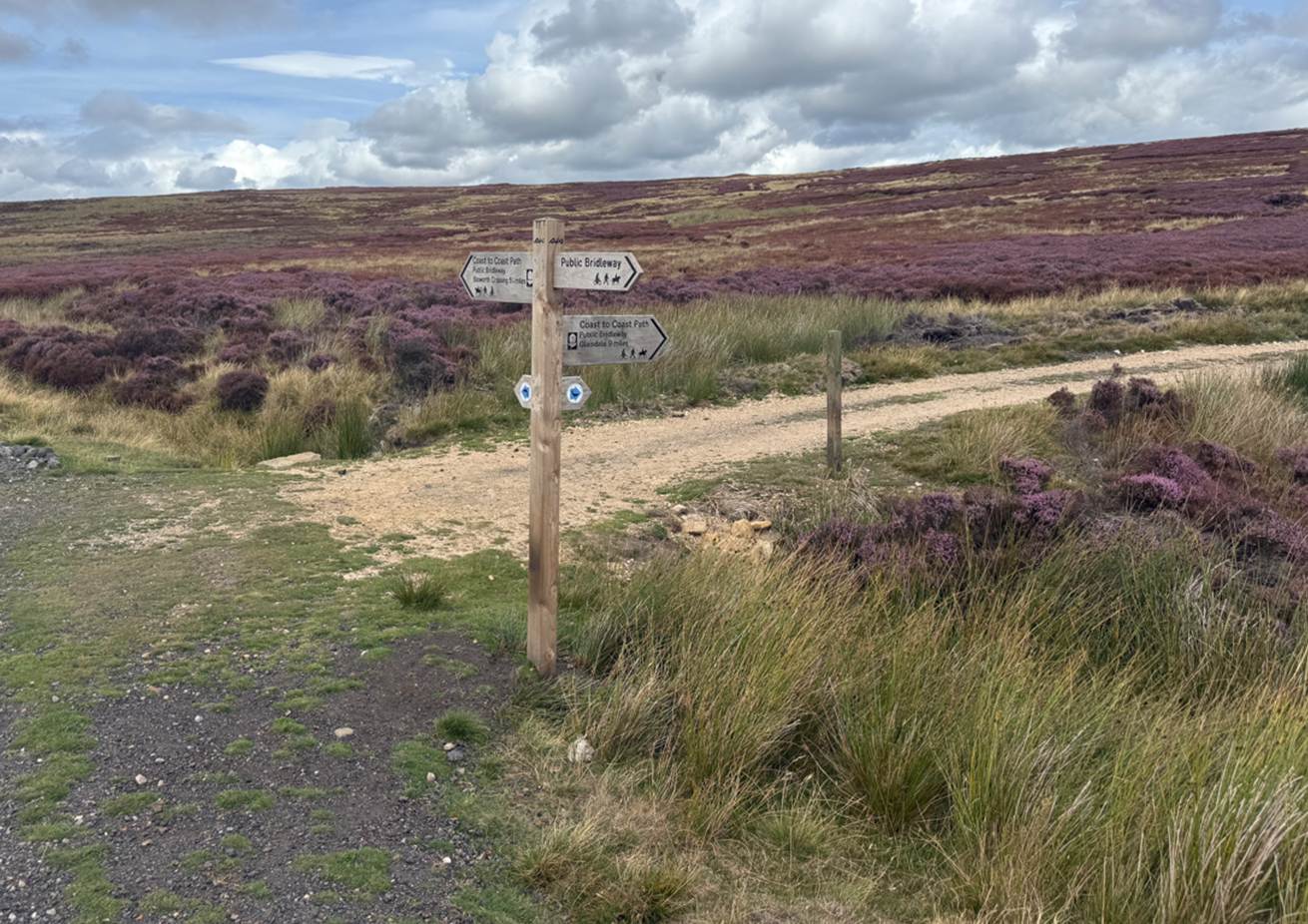
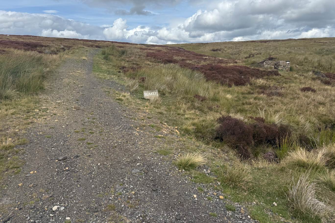
The path of the old ironstone railway from Rosedale along the north
ridge above Farndale, part of the coast to coast path
The River Dove which flows through Farndale rises as twin streams
emerging from the bedrock beyond Middle Head, the northern ridge of the dale.
One tributary rises on Stony Ridge.
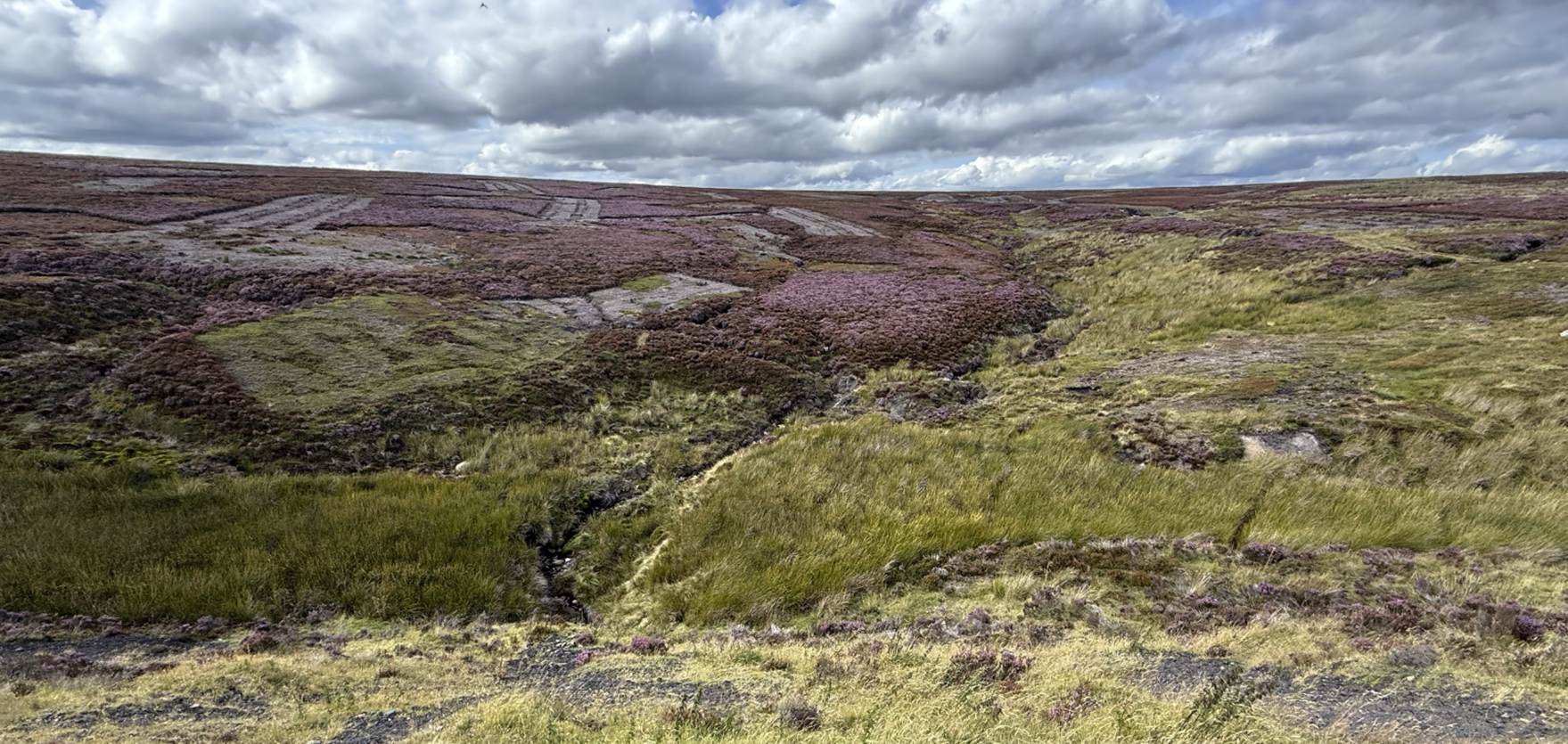
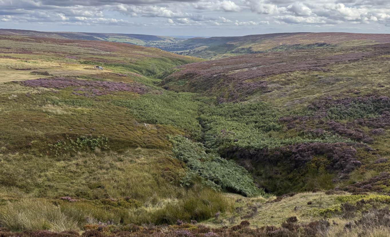
River Dove flowing from its source on Stony Ridge River
Dove flowing down from Middle Head into Farndale
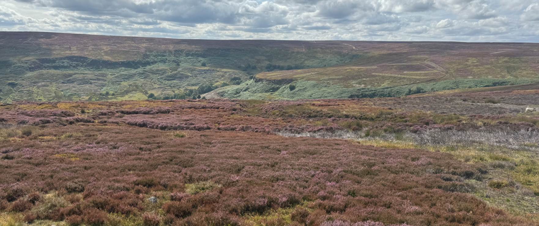
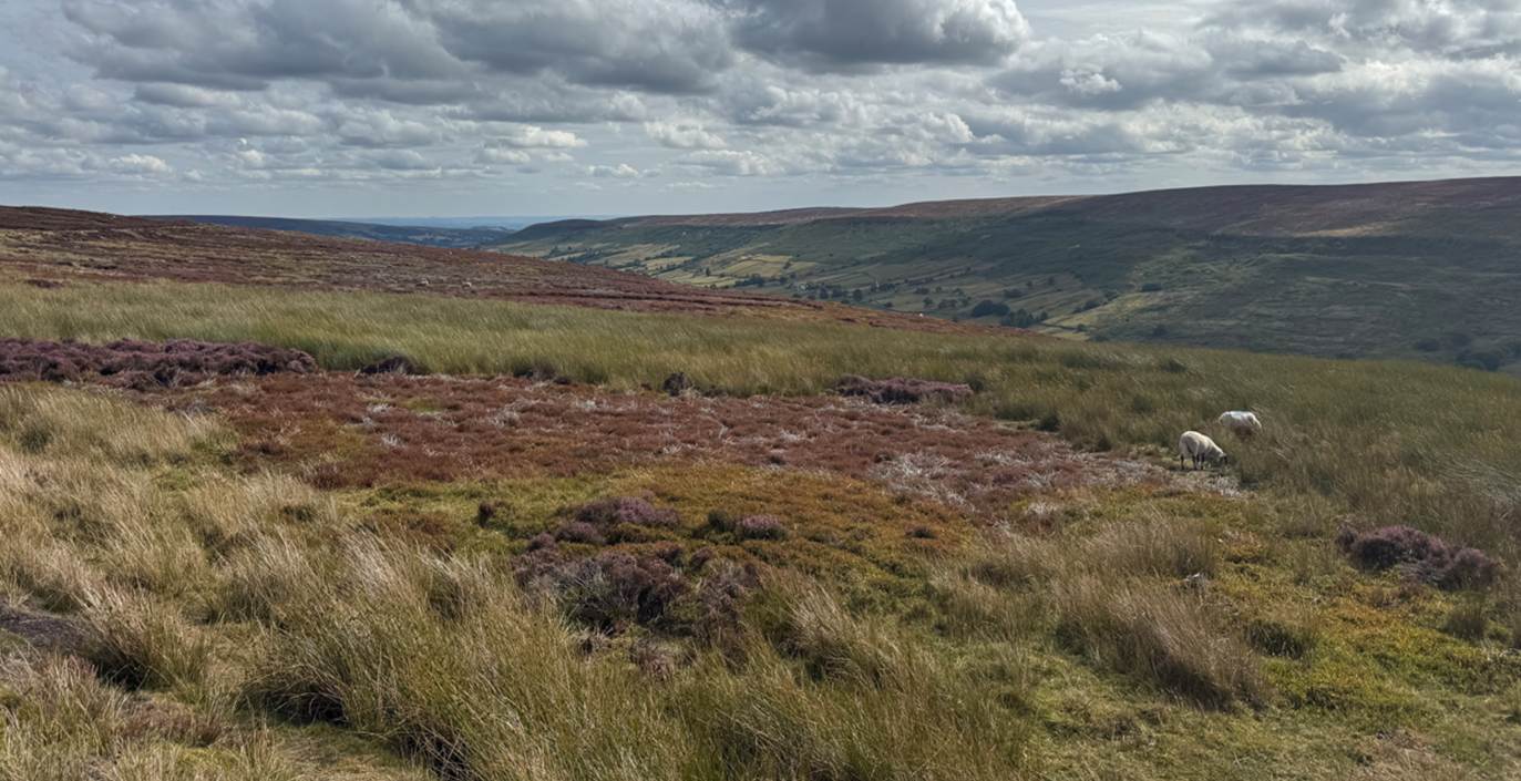
Middle Head from Dale Head with Rudland Ridge in the background Rudland
Rigg looking across High Farndale from Dale Head
At Low Mill, the River Dove is joined by a stream, the West Gill,
which runs down from a branch dale. This small adjoining dale is divided from
the main dale by Horn Ridge or Horn Nab, which juts into the dale at a height
of 350 metres.
From Low Mill southwards the dale gradually narrows until at Birch
Hagg (Wood) it is only a few hundred metres wide. The eastern slope at this
point is a remnant of the ancient forest with almost impenetrable swampy
undergrowth. Numerous springs of good drinking water and also ironstone
springs of medicinal value rise on the slopes of the dale (Raymond Hayes, Farndale, 1961, unpublished, page 2).
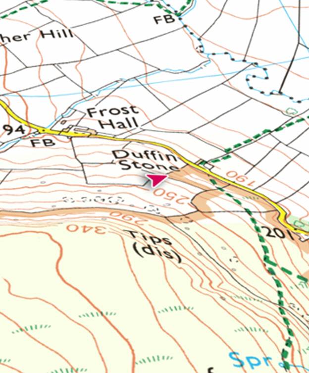
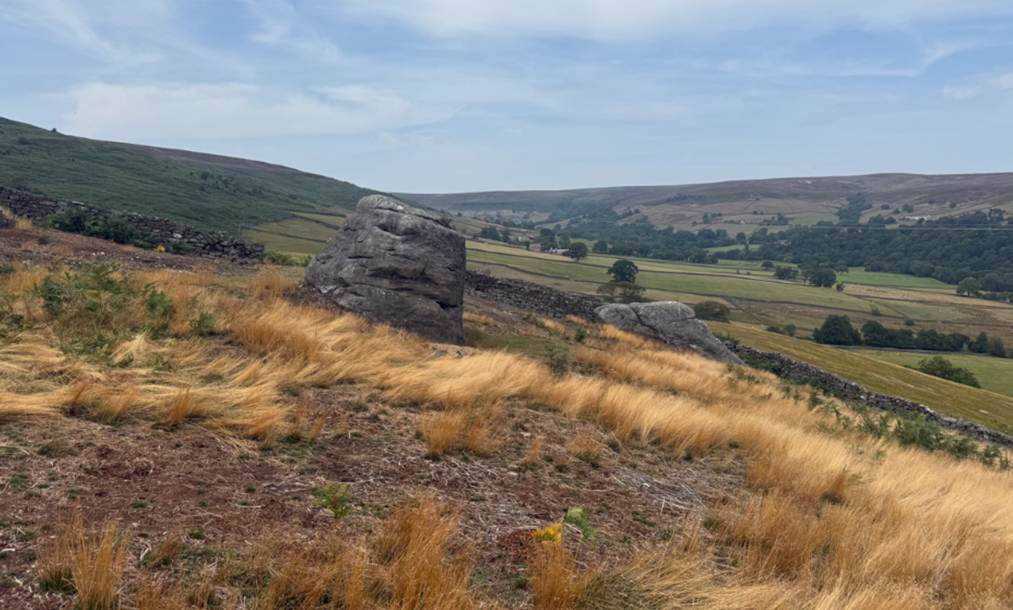
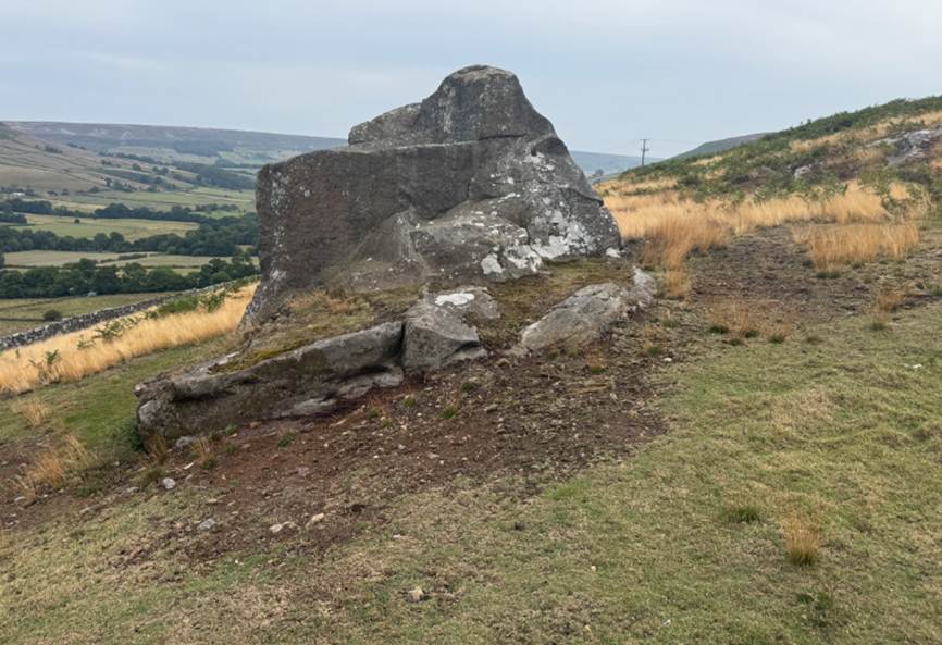
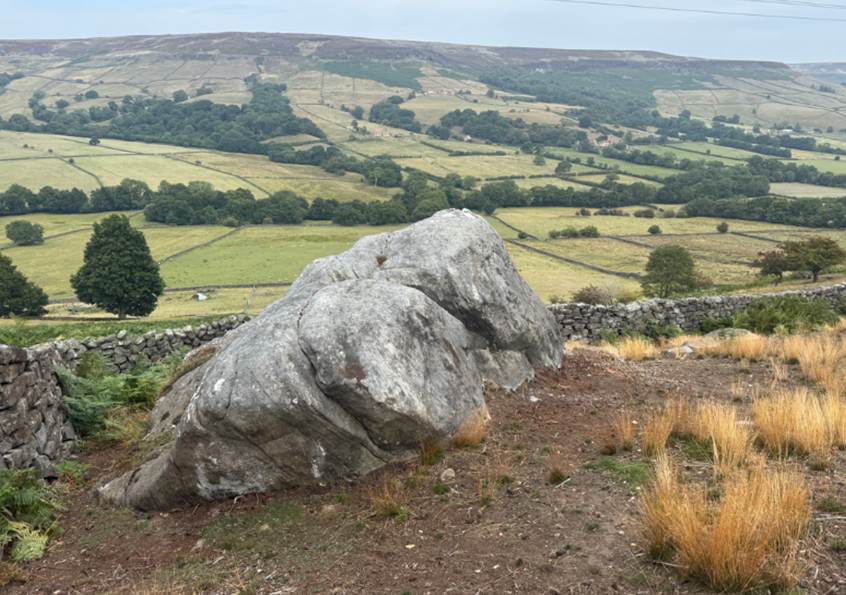
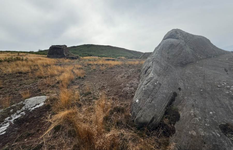
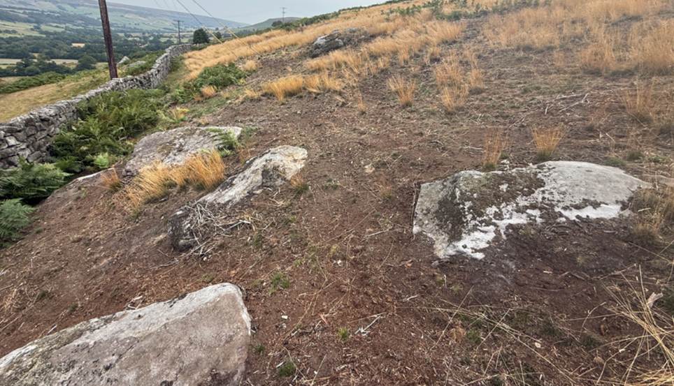
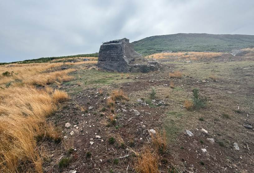
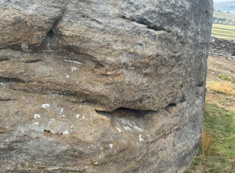
The Duffin Stone
The Duffin Stone is a massive boulder that has tumbled
down into the edge of Farndale from the escarpment of Rudland Rigg. It is in
fact one of a number of very large boulders in a field at the edge of the
escarpment. There is no suggestion that it was a Neolithic site, but the field
must be of ancient origin, and likely to have been a focal point for folk for
millennia.
Travel to the
Palaeolithic Period.